The longest instrumental records date back only about 100 years in the Southwest, a time frame that likely does not capture the full range of climate variability. Extending the record to earlier times provides additional information on the length and severity of past droughts.
This tool allows users to visualize the climate variability during the past 1,000 years or so in each climate division in Arizona and New Mexico.
Related CLIMAS research project: Tree-ring Reconstructions of Past Climate in the Southwest
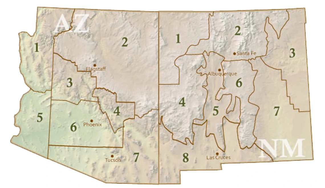
Map of Southwest Climate Divisions
Click the links below the map to see more information about the divisions of interest.
Image